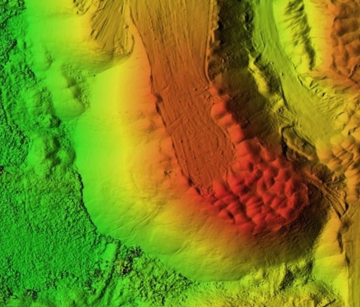
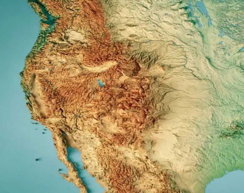
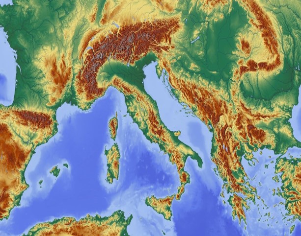
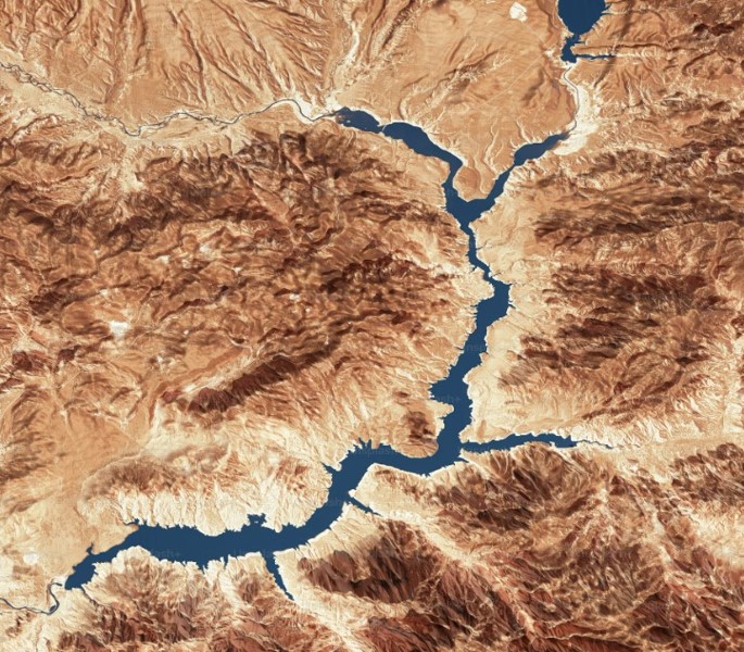
Our Geospatial Solutions offer advanced spatial data collection, analysis, and mapping services for diverse applications. From Cartography and Map Production to Remote Sensing and Geodatabase Development, our team utilizes state-of-the-art technology to generate accurate and reliable geospatial information. We specialize in environmental mapping, asset management, and emergency response planning, providing valuable insights for decision-making and planning. With a focus on precision and efficiency, we deliver customized geospatial solutions to meet the unique needs of our clients.