SURVEYING SOLUTIONS

At CECL, our Surveying Solutions offer precise and reliable data collection services for various projects. From Topographic Surveys to Aerial Surveys, our team utilizes cutting-edge technology to capture accurate spatial information. We specialize in Boundary/Property Surveys, Construction Staking/Site Layout, As-Built Surveys, and Route Surveys for roads, pipelines, and transmission lines. Whether it’s monitoring deformation or conducting hydrographic surveys, our Surveying Solutions ensure meticulous attention to detail and deliver actionable insights for project planning and management.

Bathymetric Surveys

Involves the determination and mapping of depths of water bodies and shapes of underwater terrain to illustrate the features or topography below water surface.

Topographic Surveys

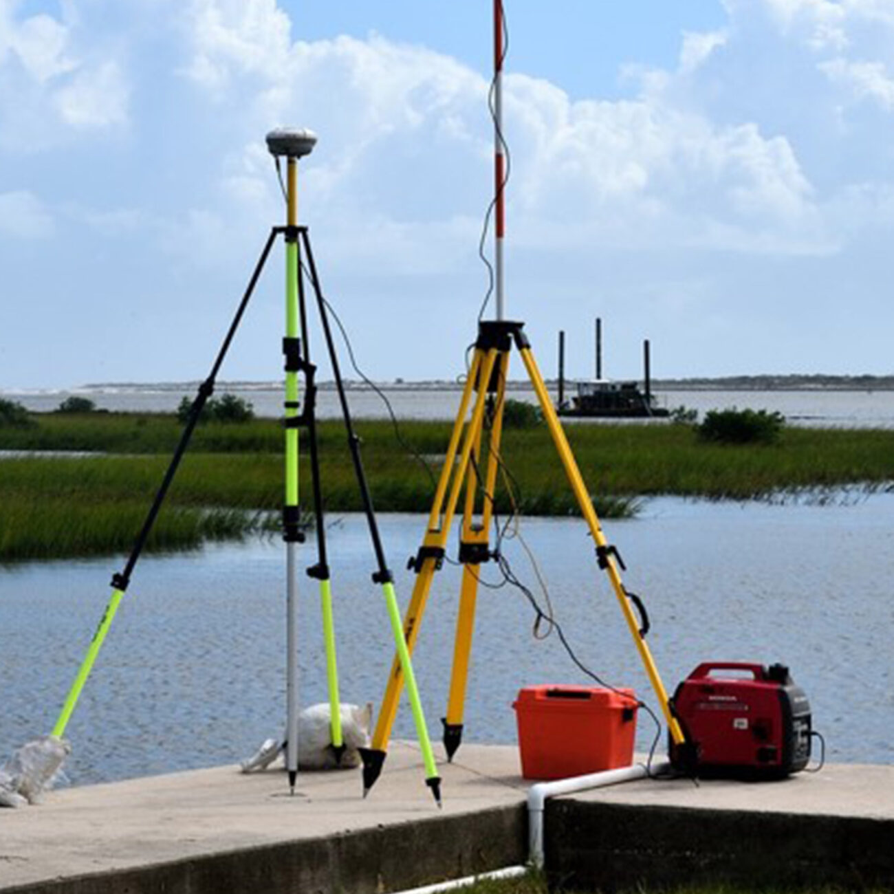
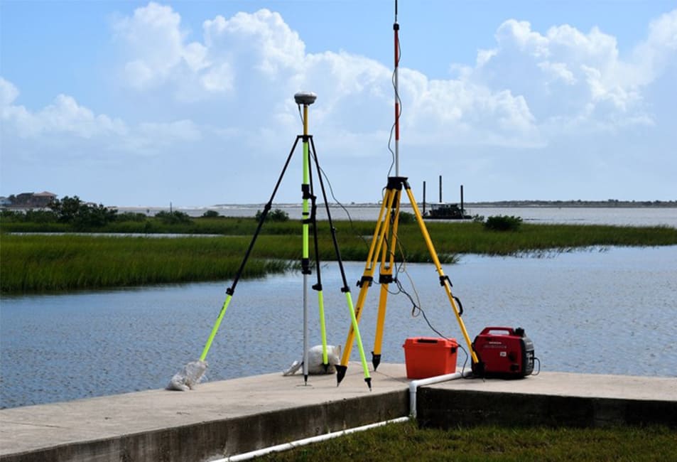
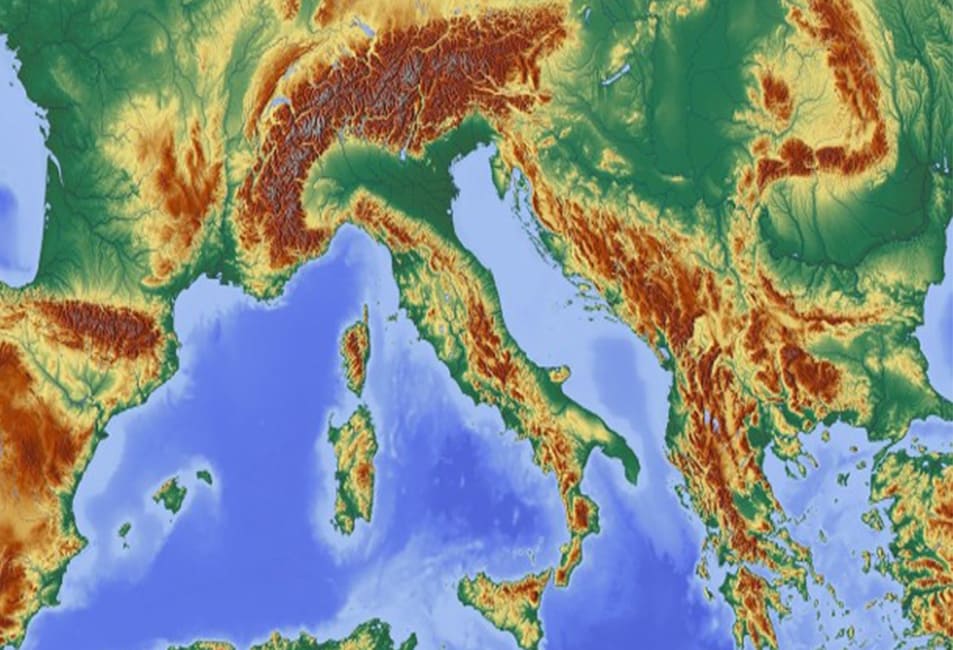
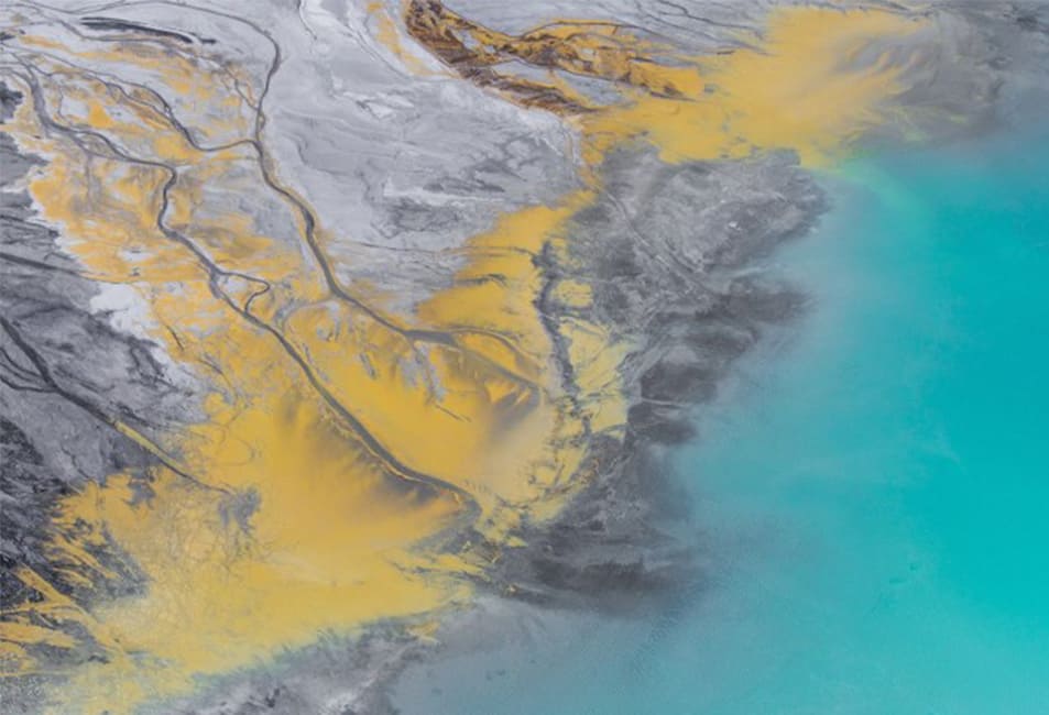
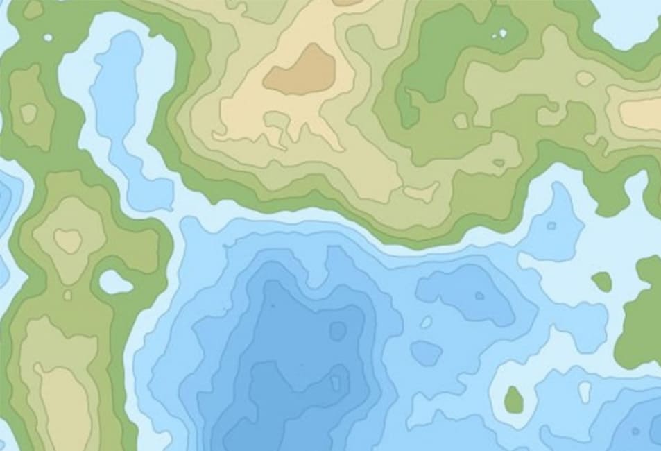
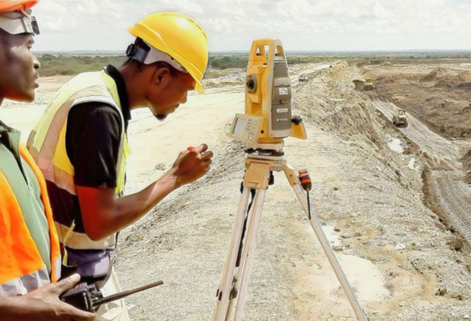
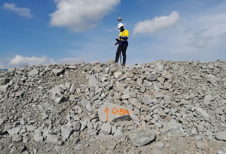
Determination of the position, in three dimensions, of natural and man-made features on the surface of the Earth.

These features are then represented in analogue form as a contoured map, plan or chart, or in digital form such as a digital ground model (DGM).

Aerial Surveys (Drone-based)

A remote sensing technique which helps us to capture and provides crucial informations of a given construction site for mapping and measurements which are then used for designing, setting-out and so. Drones are deployed to provide the topographical details to a fair accuracy and consuming less time.

Construction Staking/Site layout

This includes

  1. Setting-out of plans, designs and site layouts,
  2. Monitoring the quality of constructions through measurements
  3. As-built Surveys-which captures the 3D positions of all features/structures before and after construction.

Route Surveys (Roads, Pipelines, Transmission Lines)

Route surveying includes the field and office work required to plan, design, and lay out any “long and narrow”transportation facility such as Transmission lines, Pipelines, Roads, etc.

Boundary/Property Surveys

Measurement of boundary lines of a real property(plot or parcel) and determining the legal and geographical attributes of the property.

PROJECT PHOTOS

Linking People, Protecting Environment

City Engineering Company Ltd
wpChatIcon