GROUND INVESTIGATION
Our Geosciences Solutions encompass a comprehensive range of services aimed at understanding and managing geological and environmental factors. From Geotechnical Investigations to Seismic Hazard Analysis, our team utilizes advanced methodologies to provide strategic insights for informed decision-making. We conduct Hydrogeological Studies, Geochemical Analysis, and Geological Surveys to assess and mitigate risks. Whether it’s identifying potential geological hazards or analyzing environmental impacts, our Geosciences Solutions are tailored to meet the diverse needs of our clients while ensuring sustainable development and environmental stewardship.
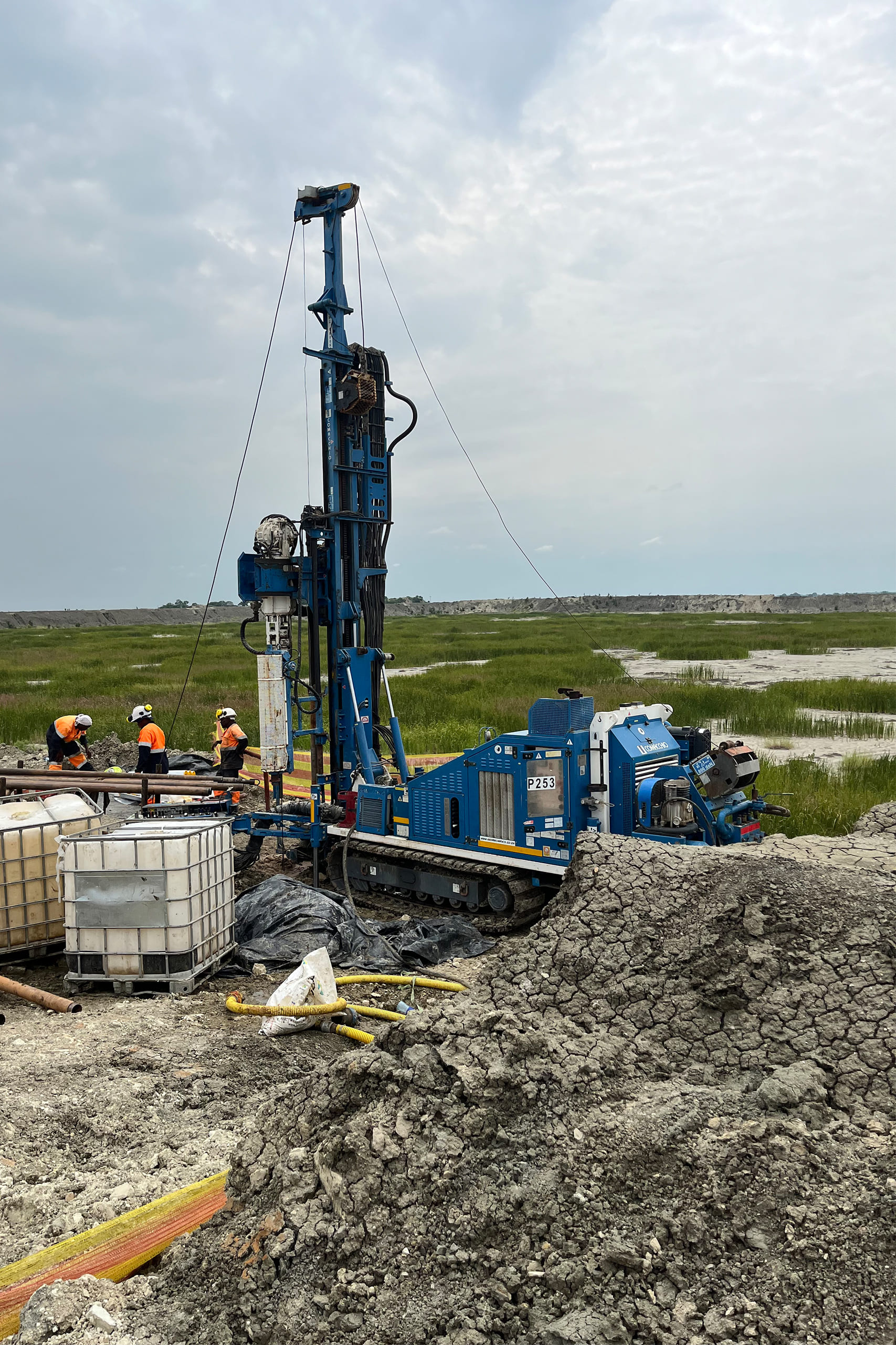
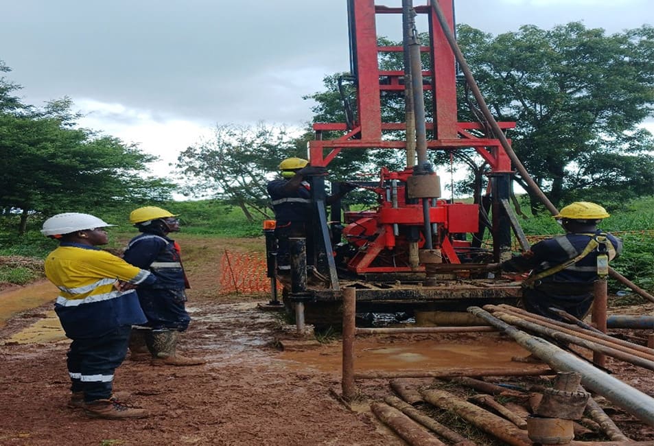
Geotechnical Investigation
Is the study conducted to assess soil and rock properties, foundation conditions, and stability for infrastructure projects through utilizing industry-standard methods such as Standard Penetration Test (SPT), Cone Penetration Test (CPT), and sonic drilling, along with traditional techniques like trial pits.
STANDARDS
BS 5930:2015 - Code of Practice for Site Investigations
Unified Soil Classification System (USCS)
ISO 14688 - Geotechnical Investigation and Testing
ASTM D1586 - Standard Penetration Test (SPT) of Soils.
ASTM D2488 - Standard Practice for Description and Identification of Soils.
Geophysical Surveys
This survey involves determination of the position, in three dimensions of natural and
man-made features on the surface of the Earth. These features are then represented in analogue
form as a contoured map, plan or chart, or in digital form such as a digital ground model (DGM).
STANDARDS
Elementary survey 6th Edition, Ghilani, Charles D; Wolf, Paul R. (2012).
Elementary Surveying: An Introduction to Geomatics. New York: The Pennsylvania State University.
Schofield, W., & Breach, M. (2007). Engineering Survey (6th Edition ed.). CRC Press.
Hydrogeological Studies
These studies involve thorough analysis of groundwater flow, aquifer characteristics, and water quality to inform sustainable water resource management and infrastructure design. By utilizing methods such as pumping tests, tracer studies, and aquifer testing to address challenges related to water availability, contamination, and sustainable management practices.
STANDARDS
- The Environmental Management (Water Quality Standards) Regulations, 2007
- The Environmental Management (Soil Quality Standards Regulations, 2007
- TZS 789:2003 - Drinking (potable) water -Specification
- TZS 860: 2005 Municipal and Industrial Wastewaters Tolerance Limits for Municipal and Industrial Wastewaters
- IFC Standards on Water Conservation
ACTS
- Ministry of Water, Water Resources Management Act (2009)
- Water supply and sanitation Act (2009)
GUIDELINES AND REGULATIONS
- Ministry of Water Guidelines for Groundwater Exploration and Well Drilling
- Water abstraction, Use, and Discharge Regulations (2010)
- Groundwater Regulations Guidelines (2013)
- The WRM Water Well Quality Monitoring Guidelines (2018)
- The WRC Water Resources Classification System Guidelines (2018)
- Registration of Water User Association Regulations (2009)
Seismic Hazard Analysis
Geochemical Analysis
Geological Surveys
Is systematically mapping and characterization of geological formations to understand terrain properties, geological hazards, and resource potential through utilizing field mapping, remote sensing, and GIS analysis to address challenges such as resource exploration, hazard assessment, and land-use planning.
RELEVANT REFERENCES:
Principles of Geology by Charles Lyell. Structural Geology by Haakon Fossen. Remote Sensing and GIS for Geologists: A Practical Guide by Gary L. Prost
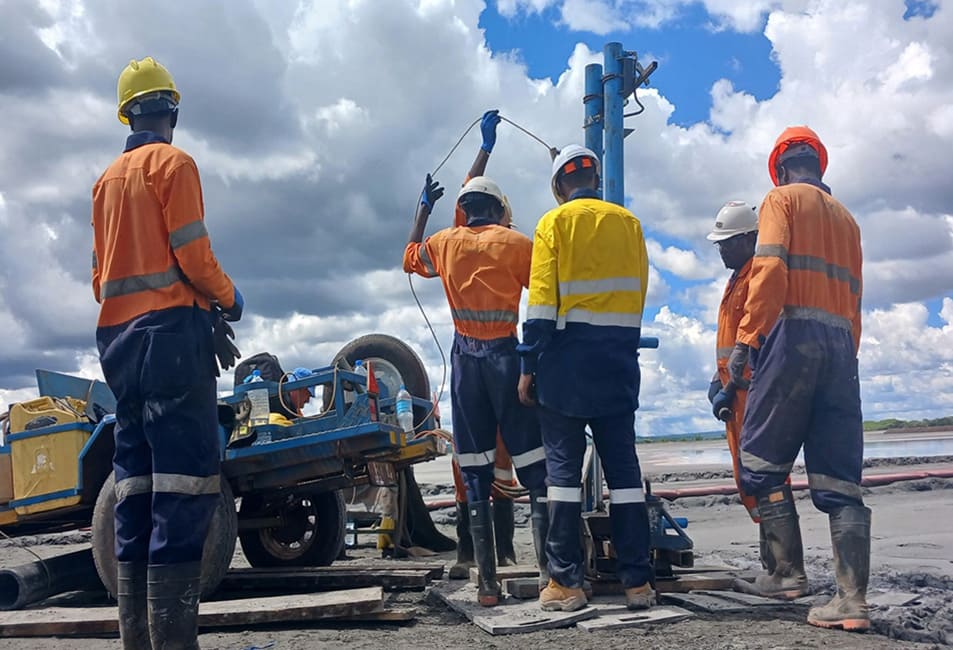
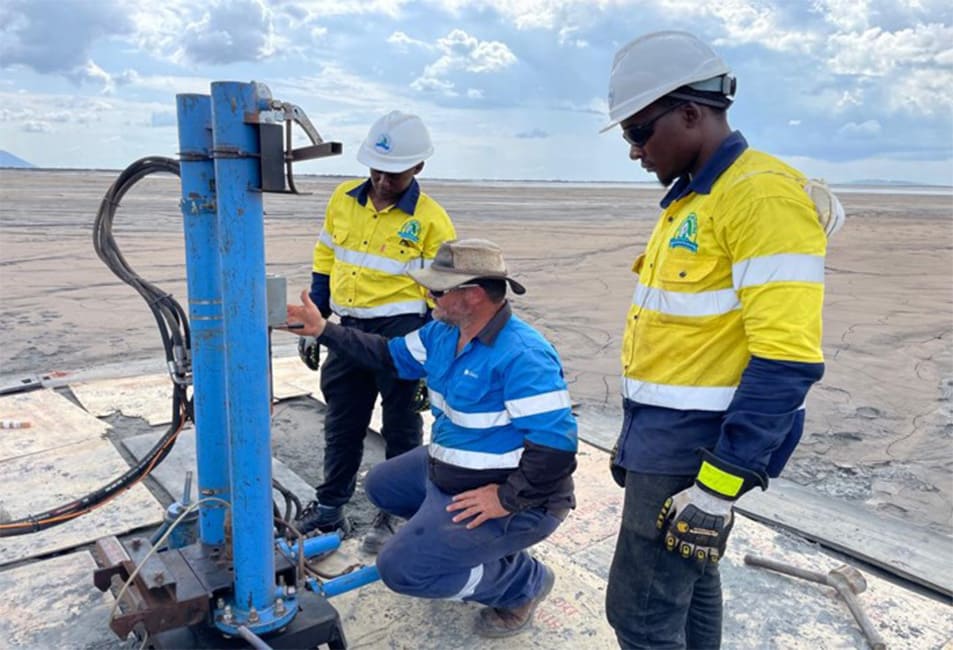
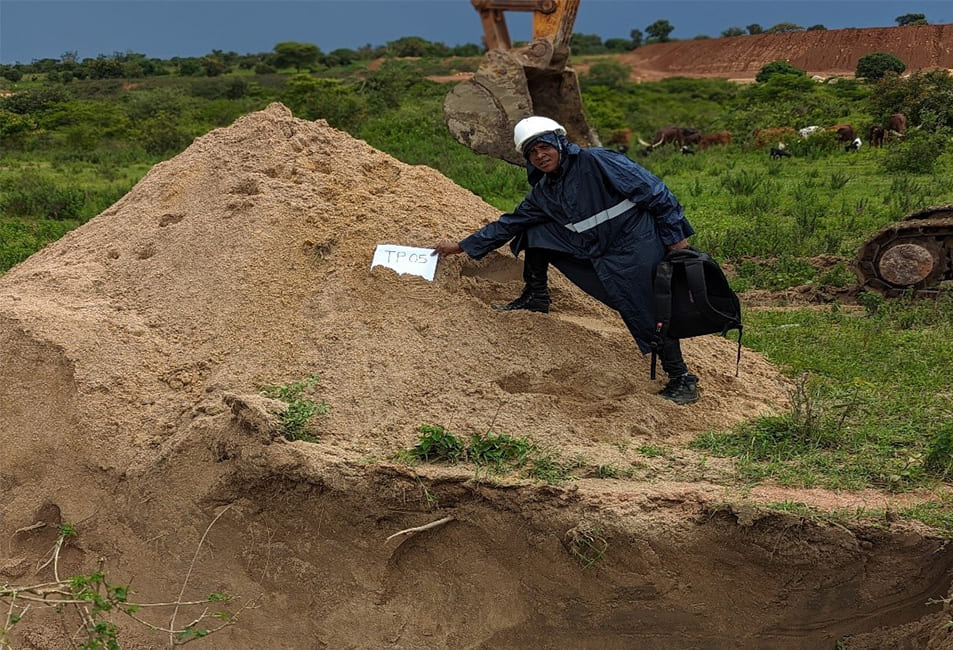
PROJECT PHOTOS
Linking People, Protecting Environment
City Engineering Company Ltd
- Mobile: +255 754 620 390
- Office: +255 760 400 800
- info@cityengineering.co.tz
- www.cityengineering.co.tz